Heat index values could reach 107 degrees in the Orange Park and Fleming Island area Sunday and Sunday, Sept. 13–14, as the National Weather Service warns of dangerous afternoon conditions across Northeast Florida.
The NWS Jacksonville daily briefing, issued at 12:11 p.m. Sunday, forecasts peak heat indices of 101 to 107 degrees during the early and mid-afternoon hours both days. High temperatures will reach the lower to mid-90s. The hottest window runs from noon to 5 p.m.
The agency said in a Saturday night Facebook post that conditions are approaching Heat Advisory criteria for the area.
Temperatures are running 2 to 4 degrees above normal for mid-September, according to News4Jax meteorologist Michelle McCormick. Clay County was among six Florida counties classified as having above-average temperatures in August, the Pensacola News Journal reported, citing the National Centers for Environmental Information.
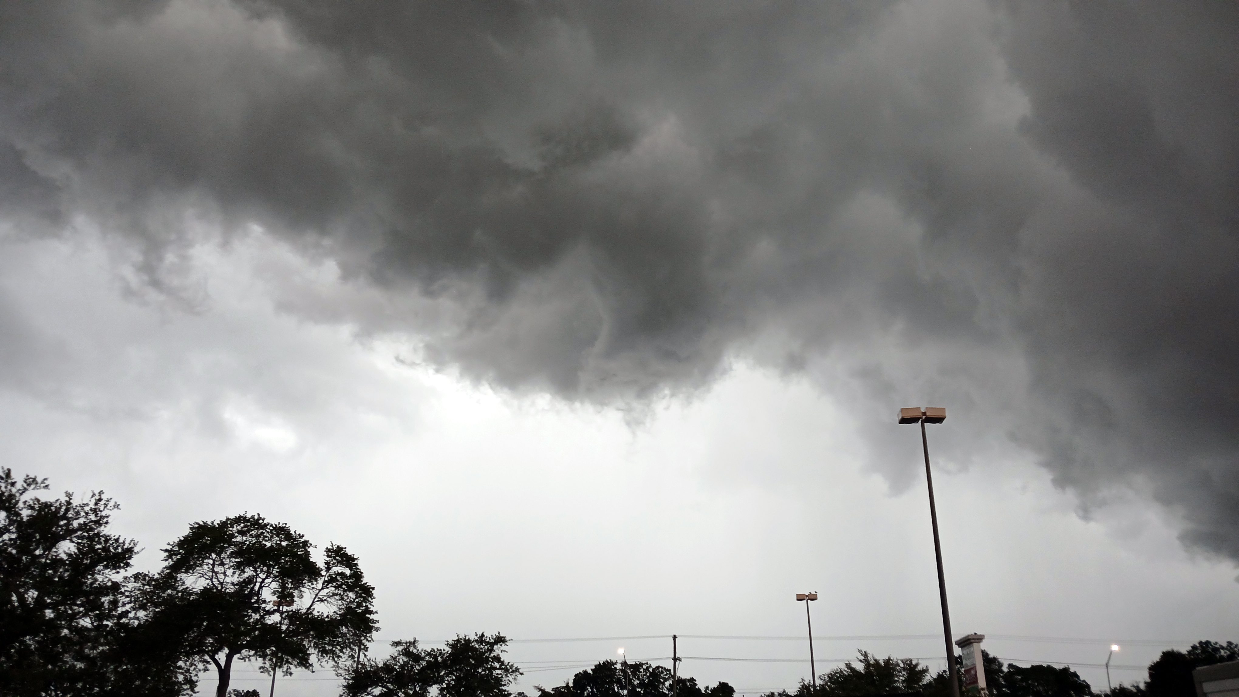
Strong storms expected Sunday afternoon
The NWS briefing also warns of scattered to numerous thunderstorms Sunday, with isolated strong storms possible along the I-95 corridor. The strongest storms are forecast between 2 p.m. and 7 p.m., with general storm activity running from noon through 8 p.m.
"The stretch closest to I-95 faces the best chance of getting hit with a strong storm, thanks to sea breeze interactions," McCormick reported.
Hazards include wind gusts of 40 to 50 mph, frequent lightning strikes and localized flooding from torrential downpours. Storms are expected to move east at 10 to 15 mph, with the highest coverage in the east and southeast portions of the forecast area.
Scattered storms could linger into the evening, roughly between 8 p.m. and midnight, before weakening.
Overnight lows Sunday will drop only into the lower to mid-70s.
Monday and beyond
Monday's heat index values remain in the 101- to 107-degree range. Storm coverage shifts south of the Interstate 10 corridor by Monday afternoon and evening.
A pattern change arrives Tuesday, Sept. 15, bringing breezy and cooler conditions at coastal locations along with numerous showers. The NWS briefing warns of a high rip current risk and rough surf at area beaches Tuesday through Thursday, with Small Craft Advisories likely on local Atlantic waters.
Heat safety
The NWS recommends staying hydrated, limiting time outdoors between noon and 5 p.m., wearing loose and light-colored clothing and reapplying sunscreen. Never leave children or pets in a vehicle.
McCormick urged residents to check on neighbors, elderly residents and anyone without access to air conditioning.
The NWS tropical weather outlook issued Sunday, Sept. 13, shows no potential local impacts through the forecast period but advises residents to keep emergency supply kits stocked and know their evacuation zone.





.jpg)