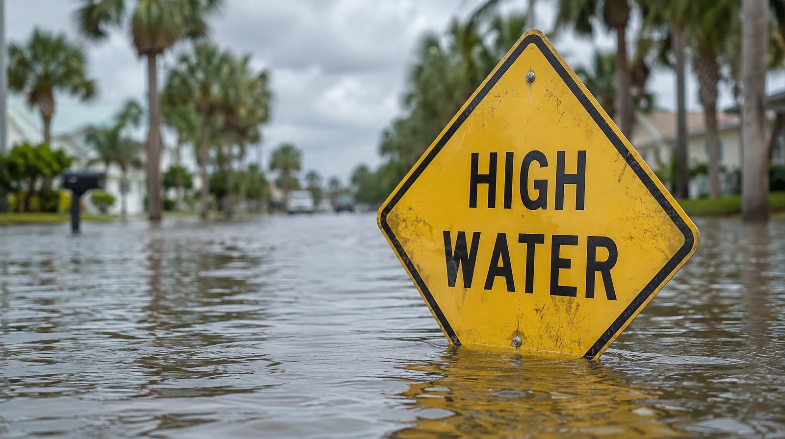
The National Weather Service Jacksonville extended the St. Johns River Basin Coastal Flood Warning until 5 a.m. Saturday in parts of the area, including eastern Clay County, in its Thursday afternoon alert, according to the National Weather Service Jacksonville, with moderate tidal flooding expected during high tides.
The warnings cover the Atlantic coast, the Intracoastal Waterway and the entire St. Johns River basin, including all tributaries near Orange Park and Fleming Island. As we reported Monday, Oct. 26, the warnings initially ran through Thursday.
News4Jax reported Wednesday, Oct. 28, that the warnings remain in effect through Friday morning. The NWS briefing, issued at 7:44 p.m. Wednesday, listed the warnings through at least Thursday night, with extended moderate tidal flooding within the St. Johns River basin through the weekend.
Water levels are peaking at 2 to 3 feet above normally dry ground during high tide, according to the NWS. That is enough to flood coastal and river roads and vulnerable structures.
Strong northeasterly winds are driving the flooding by combining with high astronomical tides, the NWS said. A High Surf Advisory, high rip current risk and a Small Craft Advisory also remain in effect.
Halloween and weekend rain
Flooding is not the only concern before Saturday and Sunday. Rain chances will increase slightly on Halloween, Saturday, Oct. 31, and then climb again late Sunday as an area of low pressure develops across south Florida, News4Jax meteorologist Richard Nunn reported.
Nunn wrote that trick-or-treaters on Saturday face a slight chance of rain. Rain chances increase late Sunday night and early Monday, with locally heavy rain possible.
A separate News4Jax forecast published the same day put Sunday's rain chance at 60% and Monday's at 40%.
What to expect Thursday and Friday
Thursday will bring mostly cloudy skies with a slight chance of early showers and highs in the upper 70s. Northeast winds of 10-15 mph with gusts to 20 mph will continue. Friday should be partly sunny with temperatures near 78 degrees.
No tropical cyclone activity is expected over the next seven days, according to the NWS briefing.
Residents can monitor water levels and tide times through the NWS Jacksonville website.