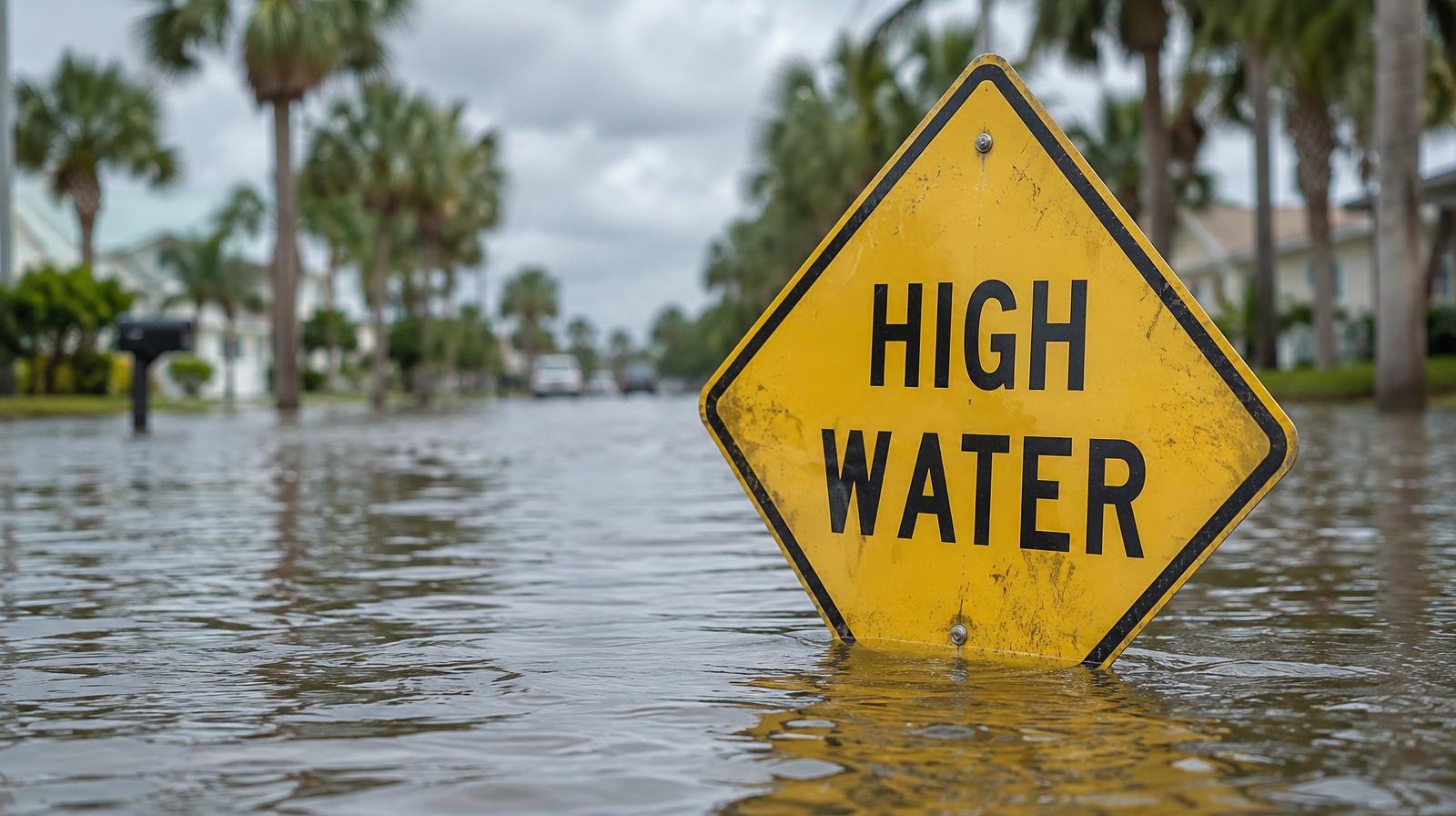
Flood warnings covering the St. Johns River basin, including eastern Clay County, could keep water 2 to 3.5 feet above normally dry ground through Thursday.
The National Weather Service in Jacksonville extended the Coastal Flood Warnings for the river basin, the Intracoastal Waterway and Atlantic coastal counties, according to News4Jax. Meteorologist Katie Garner reported Monday, Oct. 26, that the warnings run through Tuesday and Wednesday.
A separate News4Jax forecast from Chief Meteorologist Richard Nunn, published the same day, said the warnings remain in effect through Thursday. The NWS expects moderate tidal flooding around each high tide, with locally major flooding possible.
Eastern Clay County is listed among the areas under the St. Johns River Basin warning, according to a summary of NWS Jacksonville advisories compiled by travelinglifestyle.net. That warning runs until 2 a.m. Thursday for eastern Clay, eastern Putnam, inland Flagler, Trout River, south central Duval and western St. Johns counties.
King tides, unusually high tides amplified by the Oct. 26 full moon and persistent northeast winds, are driving the flooding, News4Jax reported. When strong winds pile on top of a king tide, the water pushes into neighborhoods, roadways and areas near rivers.
NWS meteorologist Angie Enyedi told the Herald-Tribune that "peak inundation could be 3.5 feet above normally dry ground." Jacksonville-based NWS meteorologists warned near noon Monday that tidal flooding was pushing into the St. Johns River, the Herald-Tribune reported.
The flooding is already disrupting daily life. Cindy Wallace Bayly, a resident of Coquina Avenue, captured images showing neighbors using kayaks to reach their homes, News4Jax reported. She said she experienced about two hours of flooding during high tide the previous night and saw water rising again the following morning.
A Wind Advisory remained in effect for coastal locations Monday evening, with sustained winds of 20 to 30 mph and gusts reaching 35 to 45 mph, according to Garner's forecast. Northeast winds of 15 to 20 mph with gusts to 30 mph are expected Tuesday, Oct. 27, Nunn reported.
Marine conditions remain hazardous. Seas are running 9 to 14 feet.
No specific road closures or flood-impact statements from Clay County Emergency Management, the Clay County Sheriff's Office or the Orange Park Police Department appeared in available reports as of Monday afternoon. News4Jax reported that officials are urging drivers not to cross flooded roadways.
Residents can monitor tide times and river levels through the NWS Jacksonville website at weather.gov/jax/marineTides.