
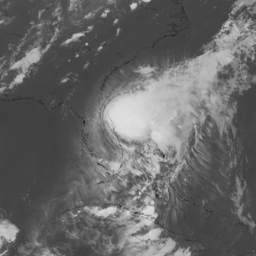
Orange Park and parts of Clay County face tidal flooding through early Thursday as a nor'easter pushes water into the St. Johns River basin while rounds of heavy rain increase the risk of flooding.
The National Weather Service in Jacksonville has a Coastal Flood Advisory in effect through 5 a.m. Thursday, Oct. 8. Forecasters warned of minor tidal flooding around high tide along the Atlantic coast, Intracoastal Waterway and potentially within the St. Johns River basin. Weather.gov
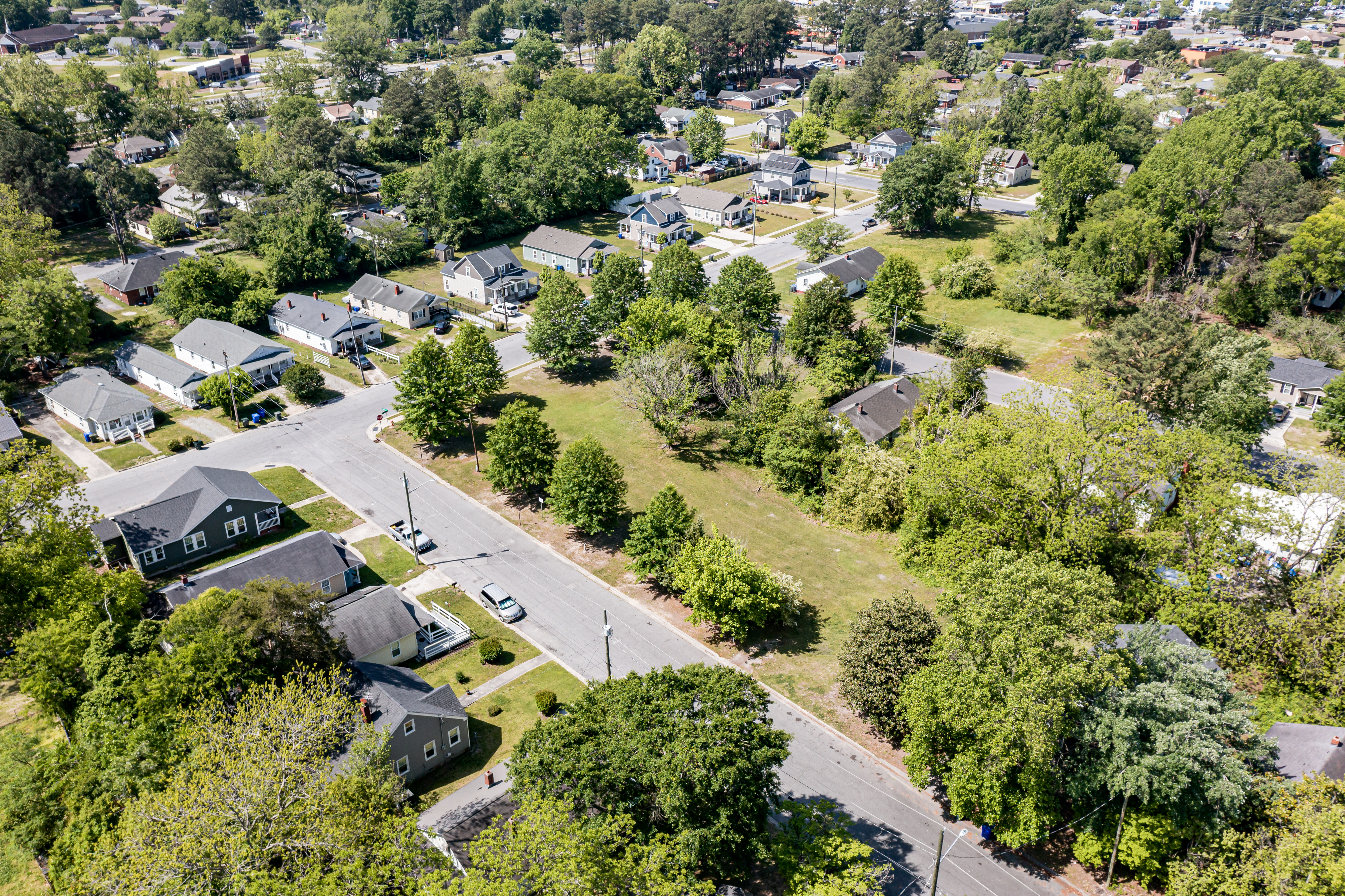
For residents along Doctors Lake and the St. Johns River in Orange Park and Fleming Island, low-lying roads and other flood-prone areas could see repeated high water as the nor'easter persists.
High water could persist through Thursday
Tidal flooding along the Atlantic coast was expected to increase with Tuesday evening's high tide and continue during high-tide cycles through Thursday. Flooding within the St. Johns River basin could linger longer as northeasterly winds push water upstream.
The National Weather Service advised residents in vulnerable areas to protect property from rising water and avoid driving through flooded roads.
The combination of persistent northeast winds and elevated tides could make it harder for water to drain between periods of heavy rain.
Heavy rain adds to flood risk
A separate Flood Watch covering Orange Park and Eastern Clay County has been extended through noon Wednesday, Oct. 7. Bands of heavy rain were expected to continue across Northeast Florida, with locally higher totals possible where storms repeatedly move over the same locations. WJXT
The National Weather Service said tropical moisture and a stalled front were fueling repeated downpours, particularly along the Interstate 95 corridor and in urban and normally flood-prone areas. Weather.gov
Northeast winds were also strengthening Tuesday, with gusts of 25 to 35 mph possible at coastal locations. Weather.gov
The agency urges drivers to follow its "Turn Around, Don't Drown" guidance and avoid flooded roads.
Unsettled weather continues
Wednesday is expected to bring more showers and thunderstorms, including periods of heavy rain. Conditions could begin improving later in the week, although additional showers remain possible.
A separate tropical system in the southwestern Gulf of Mexico is also being monitored. The National Hurricane Center gave the disturbance, designated AL92, a 90% chance of becoming a tropical depression within 48 hours and a 90% chance within seven days in its Tuesday morning outlook. National Hurricane Center
The system was expected to drift east before turning north or northeast toward the northern Gulf Coast later in the week. The National Hurricane Center said it was too early to determine specific impacts but advised residents from the Florida Panhandle to Louisiana to monitor its progress. National Hurricane Center
That Gulf system is separate from the nor'easter bringing rain, gusty winds and the threat of tidal flooding to Northeast Florida.




.jpg)