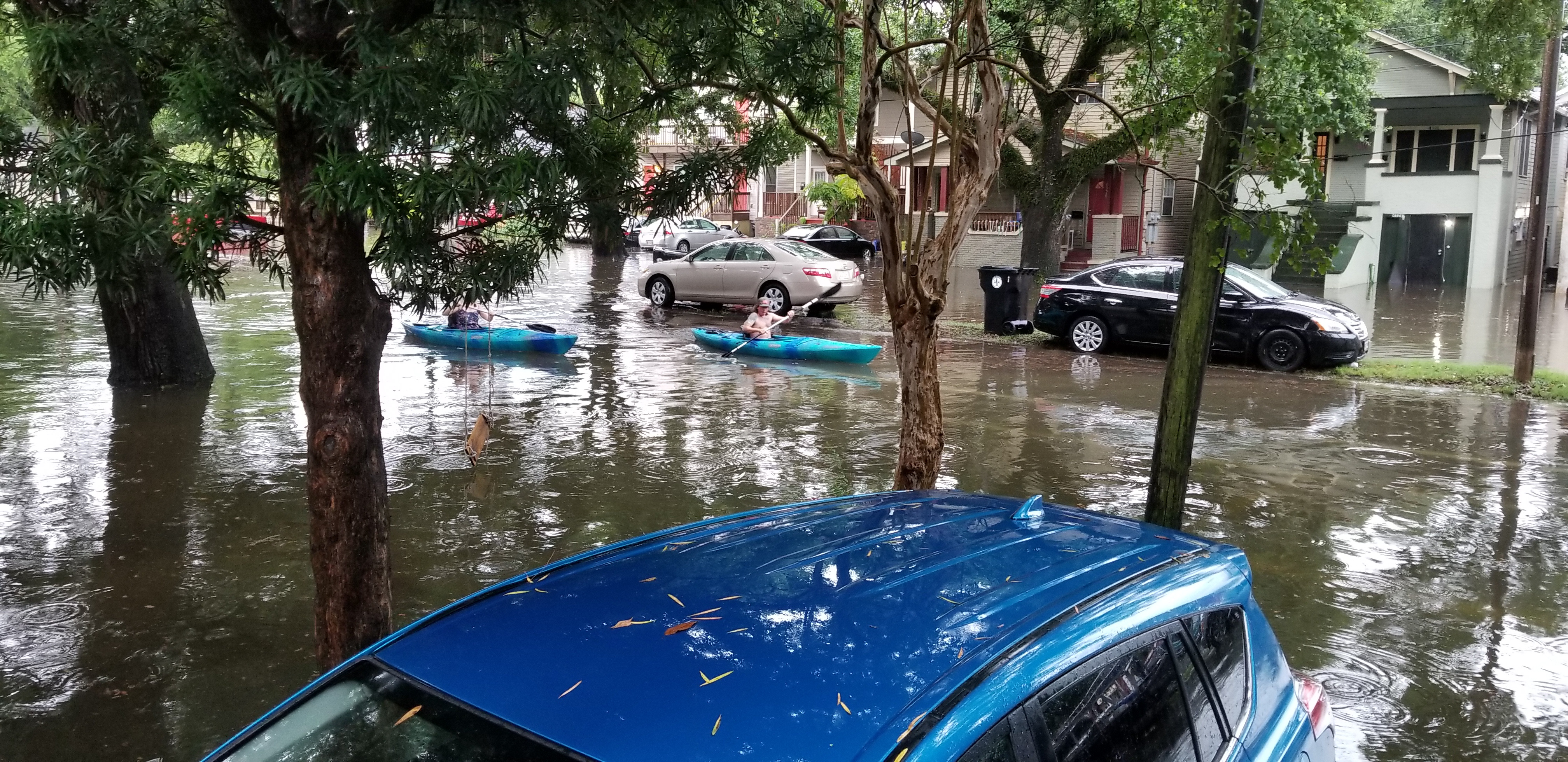
Orange Park and Fleming Island residents face a week of heavy rain, gusty winds and potential flooding as a nor'easter moves into Northeast Florida on Monday, Oct. 5, and lingers through Thursday, Oct. 8.
Total rainfall of 4 to 5 inches is forecast through the storm period, with higher amounts possible near the coast, News4Jax meteorologist Richard Nunn reported. The National Weather Service's (NWS) Jacksonville office projects 4 to 6 inches across much of the region by Thursday, according to WUFT.
That rain falls on ground already taking water. Scattered showers and thunderstorms moved through the area Friday and are forecast to continue through the weekend, dropping 1 to 2 inches before the nor'easter arrives. Sunday, Oct. 4, carries a 70 to 80 percent rain chance.
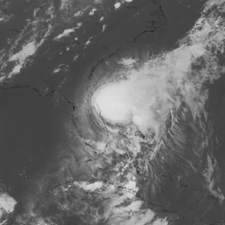
No tropical system is driving the pattern. The NWS Jacksonville tropical outlook lists no monitored systems or expected local tropical impacts, WUFT reported.
Wind and tidal flooding
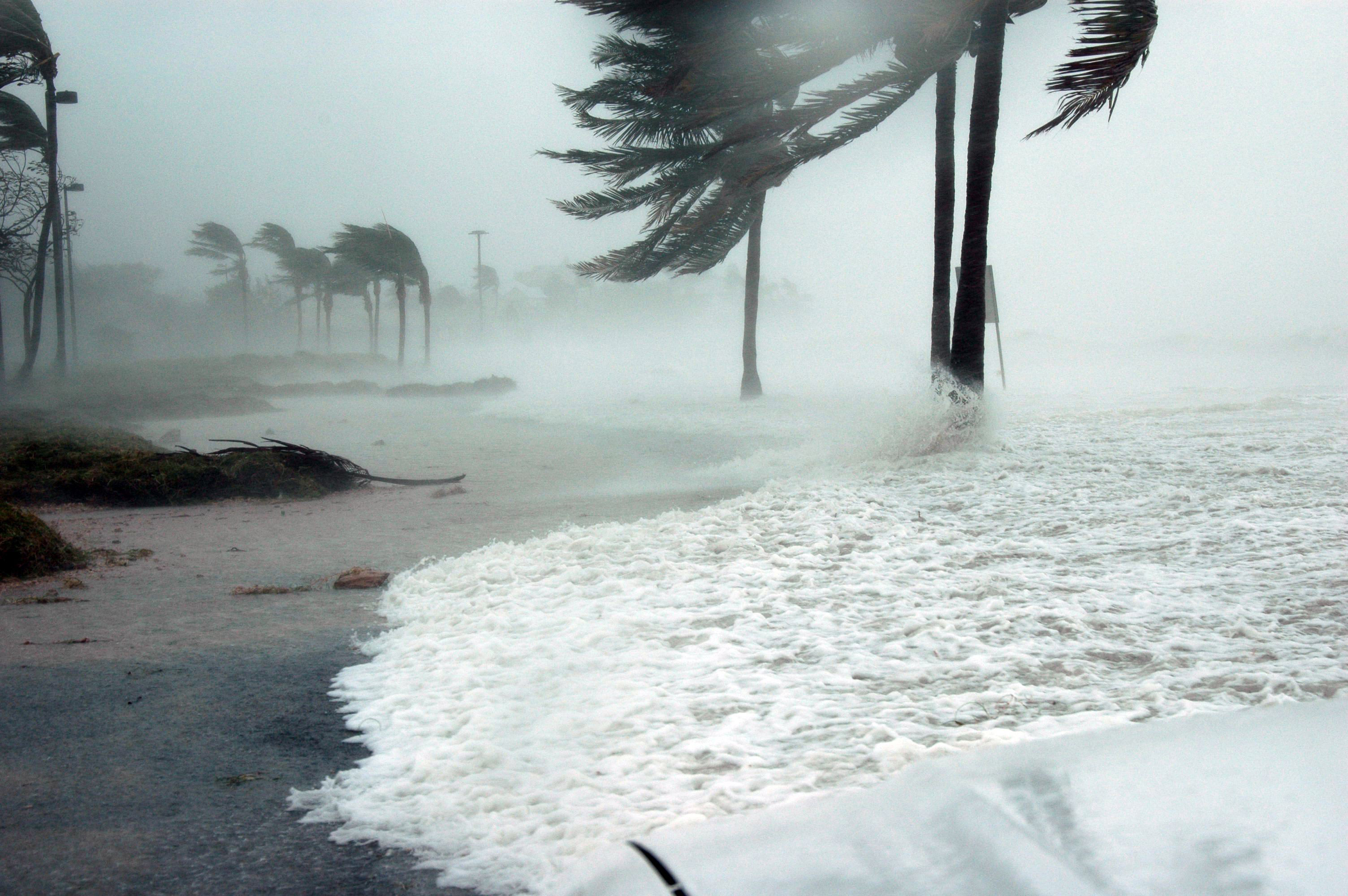
The nor'easter is expected to intensify late Monday into Tuesday, Oct. 6. Sustained winds of 10 to 20 mph are forecast inland, with gusts topping 30 to 40 mph, according to News4Jax. The strengthening pressure gradient may produce wind-advisory-level conditions along portions of the coast, with gale-force gusts possible over Atlantic waters.
Moderate tidal flooding is forecast Tuesday through Thursday along the Atlantic Coast, the Intracoastal Waterway and tributaries of the St. Johns and St. Marys rivers, Nunn reported. That includes waterways running through Clay County's low-lying riverfront areas.
Nunn described the expected coastal impacts as "considerable," including rip currents, rough surf, beach erosion and moderate tidal flooding affecting St. Johns and St. Marys river tributaries.
The region was already seeing minor tidal flooding before the nor'easter's approach. NWS Jacksonville said on X on Monday, Sept. 28, that minor flooding was occurring around high tides along the Atlantic Coast and within portions of the St. Johns River Basin, though flooding within the river was expected to be limited to Duval County after that evening's high tide.
What residents should do
Clay County Emergency Management advises residents to sign up for the Alert Clay County notification system at Alert.ClayCountyGov.com.
Do not drive through flooded roads.
That is the agency's standing guidance, and it applies throughout the storm period. Residents can reach Clay County Emergency Management at (904) 284-7703, the Clay County Sheriff's Office at (904) 264-6512 and the Orange Park Police Department at (904) 264-5555. For power outages, contact Clay Electric at 855-939-3840 or JEA at 904-665-6000.
Separately, FEMA is updating Flood Insurance Rate Maps for Clay County. The Town of Orange Park notes the 90-day comment period runs through Wednesday, Nov. 18. Properties in high-risk zones (A, AE and AE Floodway) require flood insurance if they carry a federally backed mortgage.
By Thursday, the weather may begin shifting toward a cooler pattern as high pressure pushes the frontal boundary south, News4Jax meteorologist Katie Garner reported. Showers and thunderstorms could still occur early that day.




.jpg)